Geology
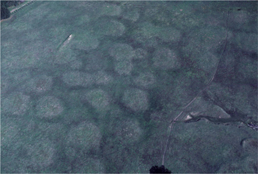 The 1989 Loma Prieta earthquake was a dramatic reminder that UCSC is located in one of the most geologically interesting regions of the world. The formation of the modern-day UCSC landscape has taken hundreds of millions of years and has directly involved 2 dynamic geologic processes: plate tectonics (the constant movement of the Earth’s crust) and a fluctuating sea level (caused by climate change). In addition to earthquakes, the campus is covered with sinkholes, caves, springs, disappearing streams, mima mounds, remnant marine terraces, an abandoned gold mine, an old marble quarry, and a surprising diversity of rocks, minerals, and soils.
The Formation of the Modern UCSC landscape
Starting about 130 million years ago, the UCSC landscape was repeatedly found at the bottom of many oceans of varying depths. The dead marine organisms, mud, and sand deposited at the bottom of these oceans formed limestone, mudstone, and sandstone, which later metamorphosed into marble, schist, and quartzite. Between 130 to 91 million years ago, intrusions of magma forced their way into these rock layers; once cool, they formed various granitic rocks. Over the last 3 million years, as the North American and Pacific plates slid past one another along the San Andreas Fault system, the Santa Cruz mountains (and UCSC) have risen up beyond the reach of the sea. This most recent of repeated periods of uplift has exposed the rocks mentioned above in various places on campus (see map). Meanwhile, the erosive force from wave action and an ever-changing sea level combined to carve marine terraces that are still distinctly visible on campus and even more so south and west of UCSC. Much of the campus bedrock remains covered by the most recent deposits of sediment associated with the marine terraces’ formation.
